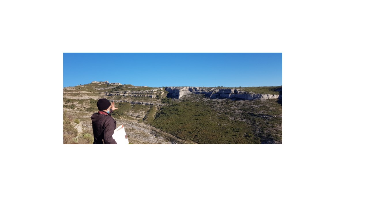
This web page concerns the teaching unit called 'Spatial data: from field to 3D modeling' for STPE Master 1 students, 2nd semester. This teaching unit corresponds to 4 credits and deals with data acquisition on the field, data processing, mapping and modeling. Students have to create maps, cross-sections, 2D/3D models and should submit a final report containing these products.
- Lærer: Gilles CONESA
- Lærer: Jules FLEURY
- Lærer: Juliette LAMARCHE
- Lærer: Leo MARTIN
- Lærer: Pierre etienne MATHE
- Lærer: Yoann QUESNEL
- Lærer: Sophie VISEUR
