Stage de second semestre de M2 STPE, réalisé en laboratoire ou en entreprise
- 선생님: ARFIB Bruno
- 선생님: BORGOMANO Jean
- 선생님: DEVIESE Thibaut
- 선생님: DEVOUARD Bertrand
- 선생님: GODARD Vincent
- 선생님: GONCALVES Julio
- 선생님: LEONIDE Philippe
- 선생님: VIDAL Laurence
Ce module a pour objectif de développer et consolider les acquis en traitement de données du TC1 (S1 socle intermention). Les éléments développés permettent de fournir aux étudiants les méthodes et outils indispensables à l’analyse de données pour les différentes finalités spécifiques de la mention STPE.
- 선생님: GODARD Vincent
- 선생님: GONCALVES Julio
- 선생님: RIZZA Magali
- 선생님: VISEUR Sophie
The general organization of the course and its philosophy is based on that of the reference textbook Anderson & Anderson. Geomorphology: the Mechanics and Chemistry of Landscapes (Cambridge). A particular interest will be given to the analysis of physical processes and their formulation in terms of conservation budget (of matter, energy ...).
- General introduction, long wavelength geomorphology
- Tectonic geomorphology
- Glaciers and glacial geomorphology
- Hillslope dynamics
- General hydrology
- Fluvial geomorphology
- Fluvial incision processes
- 선생님: ANTHONY Edward
- 선생님: GODARD Vincent
- 선생님: MARTIN Leo
- 선생님: RIESNER Magali
- 선생님: RIZZA Magali
- 선생님: DEVIESE Thibaut
- 선생님: GUITER Frederic
- 선생님: HONIAT Charlotte
- 선생님: VIDAL Laurence
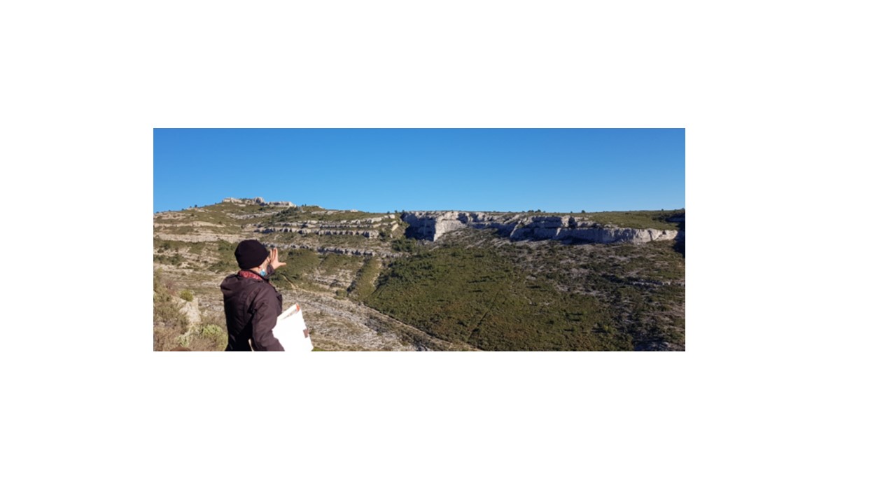
This web page concerns the teaching unit called 'Geospatial data processing' (Traitement de données géospatiales) for STPE Master 1 students, 1st semester. This teaching unit corresponds to 3 credits and deals with data acquisition on the field, data processing, mapping and modeling. Students have to create maps, cross-sections, 2D/3D models and should submit a final report containing these products.
- 선생님: CONESA Gilles
- 선생님: FLEURY Jules
- 선생님: LAMARCHE Juliette
- 선생님: MARTIN Leo
- 선생님: MATHE Pierre etienne
- 선생님: QUESNEL Yoann
- 선생님: SEMMANI Nazim
- 선생님: VISEUR Sophie